HALEIWA, Oahu/Hawaii (Monday, November 18, 2013) - Today marks the second consecutive lay-day at the ASP Prime rated Reef Hawaiian Pro and with minimal surf expected throughout the majority of the week, a holding period is likely to unfold over the coming days. With a promising swell expected to deliver for the final days of the waiting period, Surfline, official forecasters for the Vans Triple Crown of Surfing have delivered the updated forecast for the remainder of the Reef Hawaiian Pro.
BRIEF OVERVIEW: Possible fun size NW swell building in on Saturday the 23rd (still pending storm development). Until then, only traces will show for Haleiwa through the workweek.
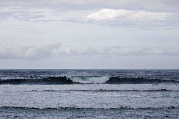
MONDAY 18th: Minimal SWELL/SURF: Traces of North swell linger, below waist high. WIND: Calm to light/variable offshore wind in the morning, with a light+ onshore seabreeze developing in the afternoon, then likely an evening glassoff. Partly to mostly cloudy skies.
TUESDAY 19th: Minimal SWELL/SURF: Traces of North-NW swells, below waist high. WIND: Calm to light/variable offshore wind through the morning, with a possible light onshore seabreeze developing in the afternoon, then likely turning offshore again before dark from the SE. Partly to mostly cloudy skies.
WEDNESDAY 20th: Minimal SWELL/SURF: Traces of NW swell, below waist high. WIND: Light to moderate prefrontal southerly wind rising up. Mostly cloudy. Stay tuned.
THURSDAY 21st: Minimal SWELL/SURF: Traces of NW swell, below waist high. WIND: Light to moderate SSW-SW Kona wind as front nears. Mostly cloudy, good chance for showers. Stay tuned.
FRIDAY 22nd: Minimal SWELL/SURF: Traces of NW swell, below waist high. WIND: Light/variable wind in the morning, with a light+ onshore West clocking NW wind developing through the day as front passes through. Mostly cloudy skies with good chance for passing showers.
SWELL/SURF OUTLOOK
Unfortunately, only traces of North-NW swells will lap into Haleiwa through the workweek (18th-22nd).
Over the next few days or so, we’ll be watching the progress of an area of low pressure that is forecast to develop over the central North Pacific. This system may potentially deliver a fun size mid period NW swell (320-335°) that will build in on Saturday the 23rd and peak at night. At this time, we will continue to stay on the conservative side with this, as its still a few days out from even developing. However, recent model runs are looking better for this event to occur. If this storm continues to behave as forecast; surf for Haleiwa will start out around the knee-waist high zone on Saturday morning, then gradually increasing to chest-head high+ by the late afternoon. Keep in mind this is still pending development, therefore still subject to change.
WIND/WEATHER
An approaching front will bring a rise of southerly wind over Wed/Thurs, before passing through the Islands over Friday the 22nd with light/variable clocking wind. Then high pressure builds in behind the passing trough for the weekend of the 23rd-24th with light to moderate ENE Trades.