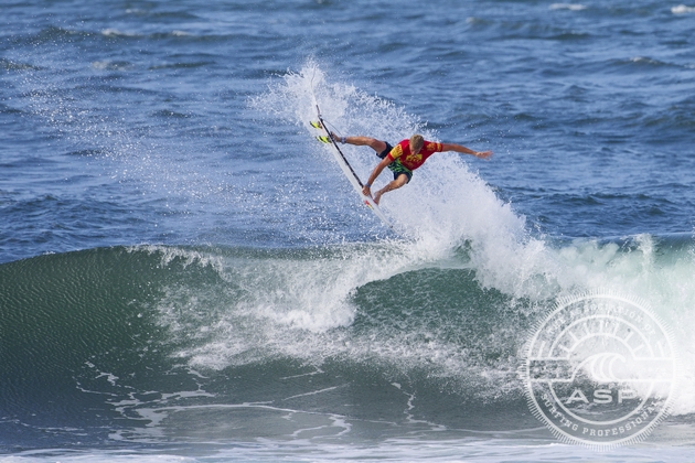
2012 event champion Sebastian Zietz will return to defend his title at the Reef Hawaiian Pro this season.
HALEIWA, Oahu/Hawaii (Monday, November 11, 2013) - The waiting period for the first jewel of the Vans Triple Crown commences tomorrow, November 12 with the ASP Prime rated Reef Hawaiian Pro at the high performance righthander of Haleiwa. The 31st annual Vans Triple Crown of Surfing attracts the world’s best to the seven mile miracle of Oahu’s North Shore and for the next six weeks, top ASP talent will do battle on surfing’s proving grounds. Surfline.com, official forecasters for the three stop series, have given a detailed breakdown of what to expect for the opening days of the Reef Hawaiian Pro waiting period.
BRIEF OVERVIEW: We’ll see a fairly slow start on Tuesday with decreasing, short period NE swell and N wind. However, we are tracking a solid N swell for Wed/Thur that will then ease into the weekend.
NOTE – The below surf sizes are for Haleiwa. Other spots of the North Shore that focus the swell best will produce larger waves (up to 25-50% bigger).
TUESDAY 12th: Fading, shorter period/shadowed NE swell most of the day; new N swell may start to show late SWELL/SURF: Small with waist-chest high wrap. May start to see some new size from the N late. WIND: N/NE wind 9-15kts.
WEDNESDAY 13th: Solid N swell fills in
SWELL/SURF: Conservatively solid overhead to double overhead+ surf, with larger sets very possible and likely. Stay tuned, storm dependent. WIND: NE 6-11kts.
THURSDAY 14th: Strong N swell continues, down a bit from Wed
SWELL/SURF: Solidly overhead to double overhead+ with bigger sets still possible. Stay tuned, storm dependent. WIND: ENE 5-10kts. Potential for afternoon sea breeze. Stay tuned.
FRIDAY 15th: Fading/smaller N swell through the day
SWELL/SURF: Still potential for well overhead surf in the morning. Again, stay tuned as we will have more refined details as the storm develops in the next couple days. WIND: Possible light/variable and potential for seabreeze in the afternoon. Stay tuned.
SATURDAY 16th: Fading/much smaller N swell
SWELL/SURF: Still looks pretty fun and very contestable with surf in the head high range possible. Stay tuned. WIND: Light/variable trades. Stay tuned.
SWELL/SURF INITIAL OUTLOOK
The initial day of the contest waiting period will see fairly slow surf off a mix of fading/primary, shorter to mid period NE swell (00-40 deg). This will be leftovers from the strong swell building today and continuing into Monday. Thanks to partial to heavy shadowing by Puaena Point on this swell direction, we’re not expecting much beyond waist to maybe shoulder high for most of Tuesday.
We’re still on track for a solid N swell for the middle to second half of the week. This will be from the interaction of an exceptionally strong high in the west/central North Pacific and low in the east North Pacific over the next 24-72 hours.
This swell direction isn’t ideal for Haleiwa, but the strength of the swell will help to overcome the less than ideal angle if the high/low combo develops as forecast in the next couple days. If so we’re conservatively looking at well overhead to double overhead+ waves on Wed/Thur, with a strong chance of even larger surf (esp Wed). Friday will be fading, but still looks strong, especially in the morning. Stay tuned, we’ll continue to refine this forecast over the next few days as we see this high/low feature develop.
Going further out, we will be in a fading trend over the weekend of the 16th-17th and through at least Monday the 18th. We are watching for a possible mid size NW to NNW swell to develop for the 20th-22nd time frame. There are certainly some differences on the track/strength of the storm that will create this swell between some of the more trusted global wind models, but it does look like very contestable and potentially medium size surf is possible for the 20th-22nd. Stay tuned, this is quite a long way out and we will refine this forecast over the next week+.
WIND/WEATHER
Strong trades will continue on Monday, thanks to high pressure north of the islands. A cut off low is forecast to slide to the north of the islands for the middle to second half of the week. At this point we are expecting light to moderate N wind on Tuesday and mostly light trades (or even light/variable wind) varying between ENE to NE Wednesday through Friday. Stay tuned.
Next Update: Monday evening, Nov 11th
Check out the online version of this forecast here.